Study: 15,000 Land Species Could Lose Habitat to Rising Seas
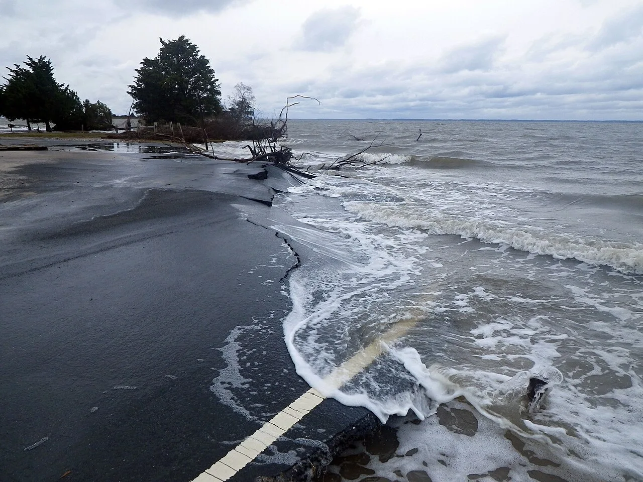
Sea-level rise is usually discussed in terms of coastal cities. A new study in Science looks at the animals living on those coasts and islands.
Where the pressure is greatest
Southeast Asia emerged as a major hotspot for threatened and small-range species. The Amazon delta has the most species whose habitats overlap projected flooding, with more than 1,000 square kilometres of inland area inundated by 2050.
Islands are at higher risk too. Many species there are found nowhere else, and long coastlines compared with their interiors expose a larger share of land to rising tides. An animal on a small island or a narrow coastal strip has little ground to retreat to.
Habitat loss across four animal groups
The authors assessed 34,120 land vertebrate species, about 90% of those known. Depending on the emissions scenario, between 14,300 and 15,300 of them could have part of their habitat flooded. That covers 57% to 63% of birds, 47% to 52% of mammals, 28% to 36% of reptiles and 20% to 24% of amphibians.
Under the highest-emissions scenario, 109 species could lose more than 10% of their habitat by 2100. For 2050 the figure is 18.
Birds look different when their ranges are split by season. Analysed separately for breeding, non-breeding and resident habitats, migratory species stand out as especially vulnerable, even though their total habitat loss is lower.
Reptiles and amphibians are hit less often, but affected reptiles lose nearly twice the average share of habitat that birds and mammals do. The worm lizard, the Catalina chuckwalla and the Restinga toadlet are projected to lose about half their habitat by 2100 in that scenario. Species already classed as threatened could lose about five times the share lost by those of least concern.
Refuges and what to do with them
The researchers also mapped priority refuges, places that could keep supporting affected species. More than 96% lie outside currently protected areas. They hope the maps will steer governments as they expand protected areas, and that planners will not build on land that may become an important refuge.
Captive breeding may be needed for species facing large losses. Coastal defences deserve a wildlife assessment too, because barriers can block some animals' movement and press habitats against the rising water.
How the team worked
Local flooding depends on more than the global average. Regional sea levels, tides and land that is sinking or rising all change what the water does at a given spot. The models for 2050 and 2100, run under five emissions scenarios, accounted for all of these and were combined with habitat maps.
Storm surges, hurricanes and salt spray were left out. The study notes that these add a further risk: they could harm habitats before ordinary tides ever reach them.
The rate of sea-level rise is now above 4 millimetres a year, more than double the rate of 1993 to 2002. Scientists estimate it may reach 10 millimetres a year in the near future. Earlier global and island assessments relied on cruder sea-level assumptions, or judged species losses from the total area of land lost. Conservation planners need to know which species face habitat loss, where and when.
Source: Phys.org