Dry, Chilly Week Ahead After a Wet but Sunny October
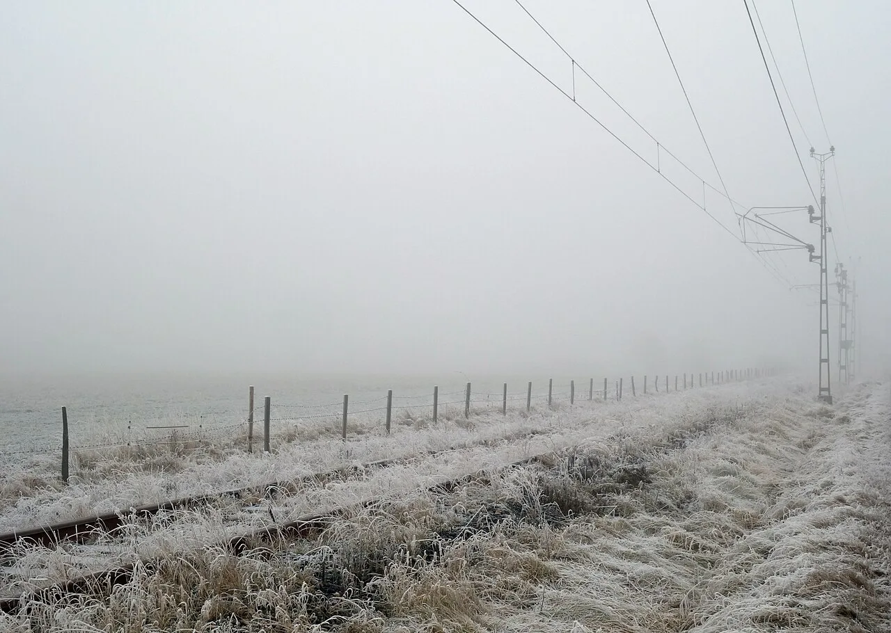
The UK starts November under high pressure, so the week ahead is mostly dry and settled but chilly. October, by contrast, was wetter, warmer and sunnier than average.
A quiet week with frosty nights
By day expect patchy cloud, some sunshine and a few showers. Frost and fog should form overnight, chiefly in the north and west. Temperatures are likely to sit near the seasonal norm or slightly under it.
It will feel colder in southern England and south Wales, where a brisk easterly breeze blows. On Tuesday, gusts of 30 to 40mph are possible around some coasts and in the Channel Islands. The breeze brings scattered showers, most often in East Anglia and the south-east. Many northern and western areas stay dry once early fog lifts.
Daytime highs on Tuesday will reach 11 to 13C, although the wind makes it feel chillier. Tuesday night is likely to fall to between 3 and 7C. Rural parts of Scotland, Northern Ireland and northern England may see a slight frost as temperatures fall below zero, and dense fog is most likely in the same areas. Further south the wind should keep fog from forming.
The same pattern runs to the end of the week. As the week goes on, many places will turn a degree or two colder.
How October ended up
Provisional Met Office data put the UK's October rainfall 13% above the usual level for the month. All four nations were above average, and northern Scotland stood out at 31% above its long-term average.
The wettest weather came in the last third of the month, as Storm Austen and Storm Boelo crossed the country. Provisionally, 24 October was the UK's joint-sixth wettest day on record.
It was also the fifth-sunniest October since records began in 1910, and mean temperatures were 0.9C above average. Shetland had its joint-sixth warmest October on record. The UK has now logged nine months in a row of above-average temperatures.
Drought is not over
The Environment Agency said England had its wettest week in two years. It warned that this was not enough to ease the continuing drought. Rain would have to stay above average through the winter to make up for the hottest summer on record.
What the weekend may bring
The jet stream that steered the two storms has moved north, which let high pressure build. Over the weekend, a fairly weak low from France is likely to move north and bring a greater chance of patchy rain. A drier spell may follow early next week.
Beyond that, the majority of forecast models weaken the high and let Atlantic systems back in. Wetter and windier weather would follow, though forecasters are far from sure and see no clear sign of storms.
Our View
The forecast and the drought warning pull in different directions. —For the drought, the long-range outlook therefore matters more than this week's frost.
Source: BBC Weather